Serpent’s Back Peak in Hope was our unplanned finish to a day that began with Three Brothers in mind. A closed gate on upper Blackwall Road sent us back from Manning Park, looking for somewhere to spend the afternoon. We found a well-marked forest trail, the Stone Garden, short steep climbs and a loop with viewpoints. Our complete recording was 5.59 km in 1 hr 58 min 37 sec, including the road approach and our stops.
Strava distance: 5.6 km
Strava elevation gain: 492 m
Total elapsed time: 1 hr 58 min 37 sec
Strava displayed time: 1 hr 43 min
Highest GPS reading: 439.8 m
Guide difficulty: Intermediate
Our route: Road approach, out-and-back trail and upper loop
Recording: 1:26–3:25 p.m. PDT
Strava’s public activity summary shows 5.6 km, 492 m of gain and 1 hr 43 min under “Time.” Our GPX measures 5.59 km and spans 1 hr 58 min 37 sec, including stops. Its unsmoothed ascent total is approximately 525 m. Separately, Hope Mountain Centre lists a standard 5.5 km route with 435 m gain and a 440 m high point.
Three Brothers plans and a stop in Hope
Three Brothers had been on the list for years. This time, we wanted to go beyond First Brother: First and Second Brother were in the plan, with the possibility of extending as far as Fourth Brother. We were thinking of an outing longer than 26 kilometres.
Thursday looked like our chance. Earlier in the week, the weather had not looked particularly inviting for higher mountain terrain. We had chosen Mount Price the previous Sunday because its autumn window also seemed to be narrowing, thinking we could return to Manning Park during the week.
Before leaving, I looked for information about Blackwall Road. I did not find a notice saying the gate was closed. Previous years offered no dependable answer: around this point in autumn, access had sometimes continued and sometimes ended earlier. We decided to try.
Hope is a regular stop for us on these drives, usually for coffee or food around Starbucks or Tim Hortons. This time, passing the pharmacy also brought back the story of the mother bear and cub that had appeared in the news the previous month.
The Hope Pharmasave bear incident
The store was Pharmasave, and the incident occurred on September 20, 2026. According to the Conservation Officer Service statement reported by Fraser Valley Today, officers assessed both bears after they left the store. The service said the adult had a history of conflict and was killed over public-safety concerns; provincial wildlife biologists decided to release the cub in a wilderness area.
The outcome bothered me, particularly the cub being left without its mother. I would have preferred an outcome that kept them together, or rehabilitation for the cub if it still depended on her. That is my reaction to the reporting; I do not know the cub’s exact age, nursing status or the details of its individual assessment.
Blackwall Road: a closed gate changed the day
We continued east from Hope. Road blockages, including a delay associated with rockfall, interrupted the drive. Farther into the mountains, we lost phone service and could no longer rely on checking access information online.
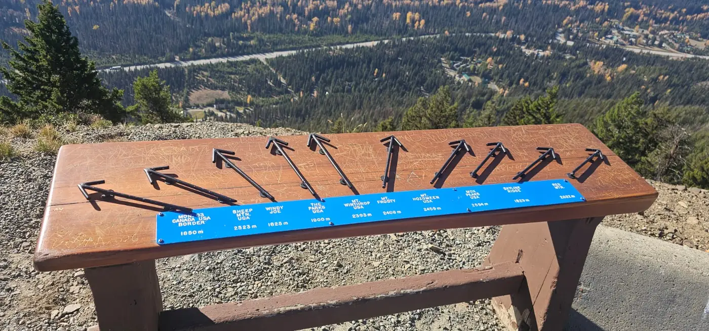
We reached the lookout area on Blackwall Road and stopped to enjoy the mountain setting. Getting out into the cool air felt good. We had gained all that height sitting in the car, without spending the energy we would normally need to climb there.
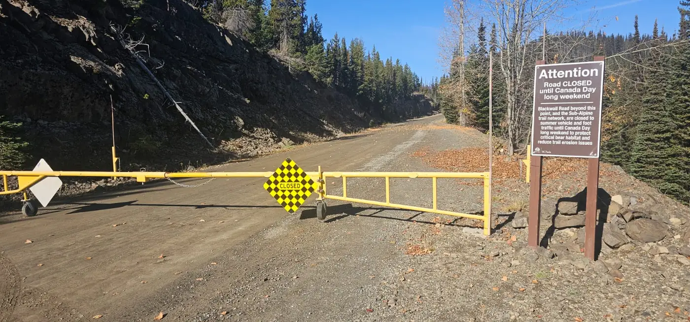
Then we reached the gate for the upper road. It was closed. The sign referred to opening around the Canada Day long weekend, but the barrier in front of us settled the question for this visit: we could not drive through to the high trailhead we had planned to use.
I wondered whether we should have reversed the order—Three Brothers on Sunday and Mount Price on Thursday. That was hindsight after finding a locked gate; it did not tell us whether the road would actually have been open on Sunday.
We turned around. With part of the day already spent driving, there was less room to choose another unfamiliar alpine objective, get there and assess conditions. We considered Flatiron, Yak Peak and other possibilities, then decided to return to Hope.
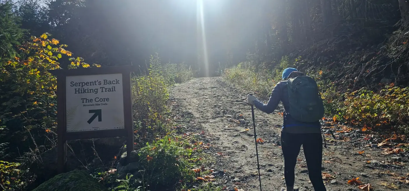
Starting Serpent’s Back from the road
After Mount Price, we had not been looking for another sustained grind. The longer Three Brothers idea had appealed because we wanted distance and terrain where we might run a little. I have been feeling my health and fitness improve, and running is beginning to feel possible again.
Once that plan fell through, Serpent’s Back offered a smaller outing we could enjoy without making it a hard training session. We parked by the road below the main parking area. I had concerns about vehicle security and did not know this parking area; that was a personal choice, with no evidence that our spot was safer.
The GPS recording began at 1:26:37 p.m. We followed the signed gravel approach uphill.
The first viewpoint and the Stone Garden
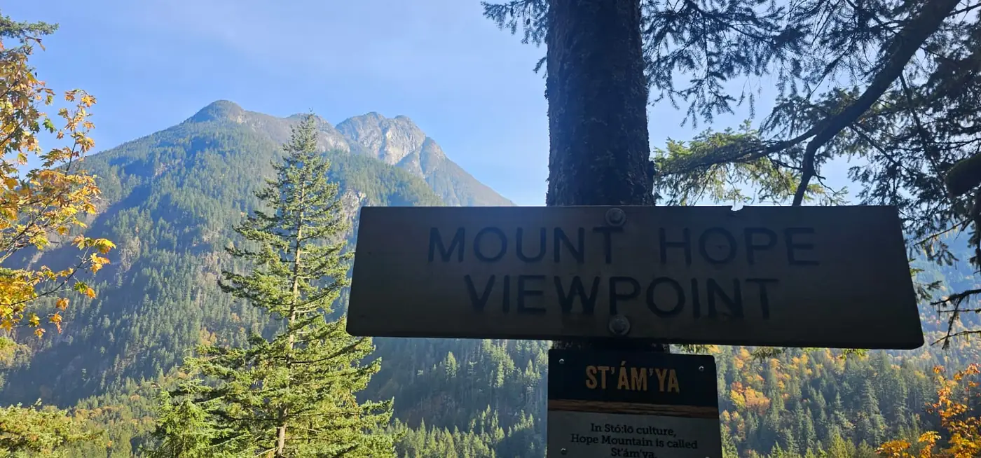
The route was well marked. We climbed steadily and reached the first viewpoint at roughly a kilometre into our outing. The sign there reads “Mount Hope Viewpoint”, with Hope Mountain rising across the valley behind it.
There were enough short climbs to keep the legs working. At one point, we crossed a dip that briefly made me think we might be heading back toward the road. Instead, the trail continued through the forest toward an impressive collection of large rocks.
The boulders immediately made me think about rock climbing and Hope’s potential as an outdoor climbing destination. We also saw the no-climbing sign. This is the Stone Garden: the trail maintainer explains that climbing is prohibited because of the area’s historical and cultural significance. We continued on the trail.
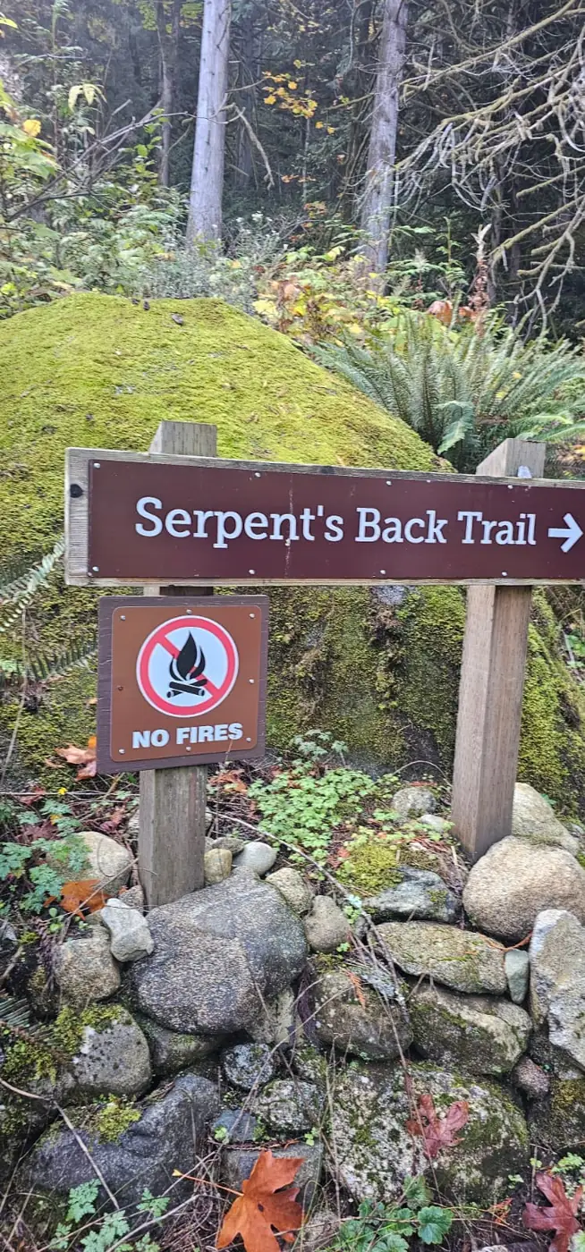
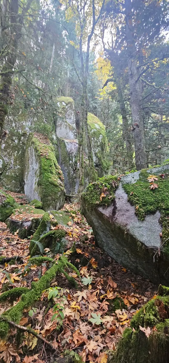
Little rises and descents broke up the route before the next climb. That variety was part of its appeal: we were moving through a forest with viewpoints and interesting terrain rather than concentrating on a single long uphill.
Taking the right branch toward the summit
At roughly two kilometres into our recording, we reached the upper-loop junction. The left option looked longer, and I assumed it might be gentler. The sign confirmed that the right branch reaches the summit by the shortest distance, so we went right.
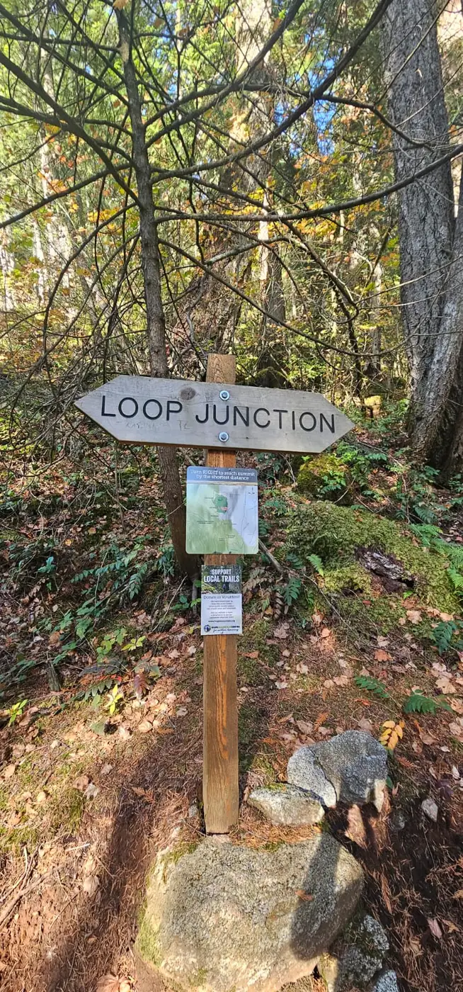
Another viewpoint interrupted the climb. At the summit area, we stopped for photographs, and I went onto a small rock outcrop twice to feel how my new shoes handled it. We then continued around the loop toward the West Viewpoint.
A short test of my new Mizuno trail shoes
I had worn my new Mizuno Wave Daichi trail shoes to try them out. Their Vibram soles felt more secure on the rocks and roots here than the Michelin-soled pair I had used previously.
This shorter outing gave me a chance to pay attention to the grip. For my preferences, they felt better suited to a short trail run—perhaps five to ten kilometres—than a long mountain day crossing loose scree. I was pleased with them on this trail; for longer hiking outings, I would be more inclined to consider the Wave Mujin line.
Three rope sections and some awkward steps
We encountered three fixed-rope sections. The first was before the upper junction; I had already climbed part of that passage before noticing the rope, then stopped to photograph it. On the western side of the loop, another steep passage had a rope, and we encountered a further rope section after the West Viewpoint.
We did not use any of the three. I could see why a handhold might be welcome on those short, steep stretches, particularly if conditions made footing less comfortable.
Some of the constructed steps felt awkward to me, especially on the descent. Their treads seemed short for the way I wanted to place my feet. I would have preferred deeper, more conventional earth-filled steps. We took care through them and kept an easy pace.
Back to the car in just under two hours
On the descent, we met people with a dog near the rock garden. We also saw the same parked vehicle we had noticed on the way up. We continued down to our roadside starting area and stopped the recording at 3:25:14 p.m.
The outing came to 5.59 kilometres and 1 hour, 58 minutes and 37 seconds, including the road approach, upper loop, photographs and time on the rocks near the top. We had taken it easily. After the driving and the change of plans, it was good to have spent part of the day on a trail.
The journey also left us thinking about the next mountain day: Mount Outram, Hope Mountain and Johnson Peak above the Hope Slide were among the names in mind. TranBC documents Johnson Peak’s connection to the 1965 slide.
We still wanted a bigger alpine outing while the autumn window lasted. That would depend on the weather and the week ahead. Serpent’s Back had given us a worthwhile afternoon when a closed gate changed the day.
How long did our Serpent’s Back hike take?
| Recorded event | Time, PDT | What it tells us |
|---|---|---|
| Roadside recording start | 1:26:37 p.m. | Beginning of the complete recorded outing. |
| Highest GPS elevation sample | 2:40:21 p.m. | 439.8 m on the upper loop; this is not a verified first summit-arrival time. |
| Recording finish | 3:25:14 p.m. | Return near our roadside start. |
| Strava displayed time | 1 hr 43 min | Public embed label: “Time.” |
| Total elapsed time | 1 hr 58 min 37 sec | Includes stops, photographs and exploring the upper area. |
Recording method and elevation figures
The original GPX contains 2,084 points in one segment. Summing horizontal distances gives 5.59 km. Adding every positive elevation change without smoothing gives 524.6 m of ascent; the corresponding descent total is 517.2 m. Small fluctuations can inflate raw cumulative elevation figures.
Strava displays 1 hr 43 min under the label “Time”; the public embed does not explicitly call that moving or elapsed time. The difference from the complete GPS span is 15 min 37 sec, which should not be treated as an exact measurement of rest breaks. Separate break-free ascent and descent times have not been verified.
The recording’s average speed, including stops, is approximately 2.83 km/h. The highest elevation sample occurs during the upper-loop visit and should not be treated as the moment we first reached the summit viewpoint.
Our Serpent’s Back activity on Strava
Open our Serpent’s Back Peak activity on Strava.
Serpent’s Back trailhead coordinates and Google Maps directions
Trailhead navigation pin: 49.348324, −121.474894
This is the Google Maps destination linked by Hope Mountain Centre. Follow local signs along the gravel approach to the designated trailhead parking.
Our roadside GPS start: 49.348454, −121.473544. It is marked separately on the route map below.
From Vancouver, Abbotsford or Chilliwack: follow Highway 1 east toward Hope, connect to Flood Hope Road, then turn onto Silver Skagit Road. The maintainer describes the signed turnoff on the west side approximately 1.5 km along Silver Skagit Road, with the parking area at the end of a short gravel access road. Use the navigation links for the current driving route.
The current trail name is Serpent’s Back, or A:lhqeyétsel in Halq’eméylem. Older listings use Dragon’s Back. See the maintainer’s page for the name history, access information and trail updates.
Our complete GPX route and elevation profile
The map reads the original ZIP and shows the entire recorded outing, including our roadside approach and the upper loop. The Hope Mountain reference marker identifies the named mountain across the valley; it is separate from the route we hiked.
Loading our recorded route. The original GPX ZIP is available below.
Preparing the route map.
The recorded elevation profile loads with the GPX.
Sources and trip-report notes
The story and seven photographs describe our October 15, 2026 outing. GPX calculations and Strava’s public activity summary are labelled separately. Mountain names are used where the photographs, signs or geographical references support them.
- Original GPX ZIP
- Strava activity: verified public summary and embed
- Hope Mountain Centre: Serpent’s Back name, trail information, Stone Garden and access
- Google Maps trailhead destination linked by the maintainer
- BC Geographical Names: Hope Mountain
- BC Parks: E.C. Manning Park and current advisories
- Fraser Valley Today: September 2026 Pharmasave incident and COS statement
- TranBC: Johnson Peak and the Hope Slide