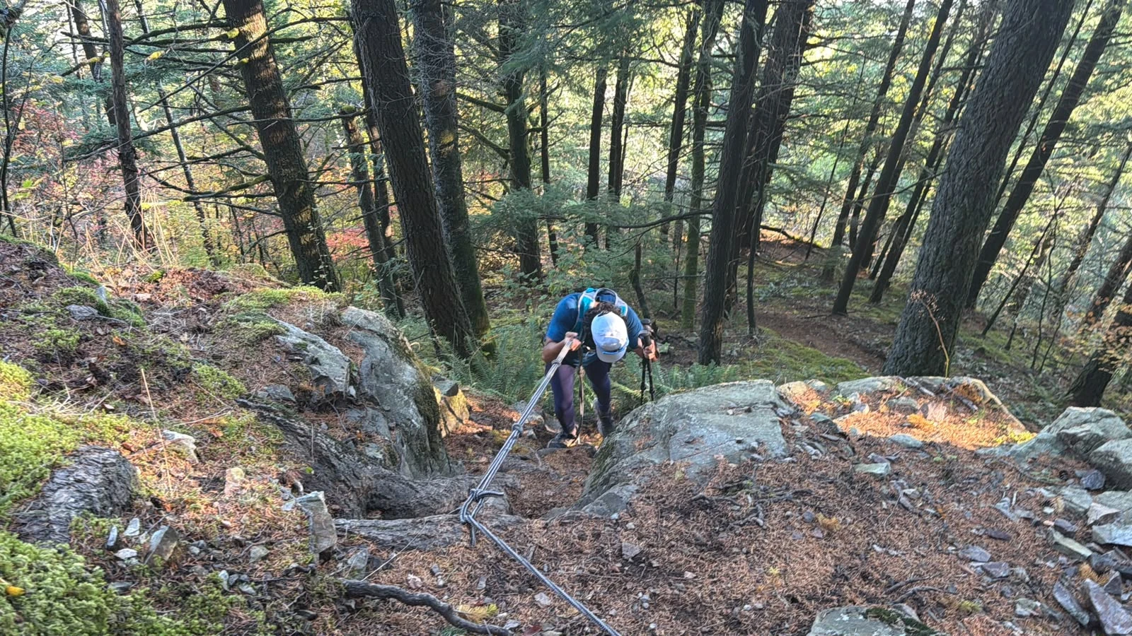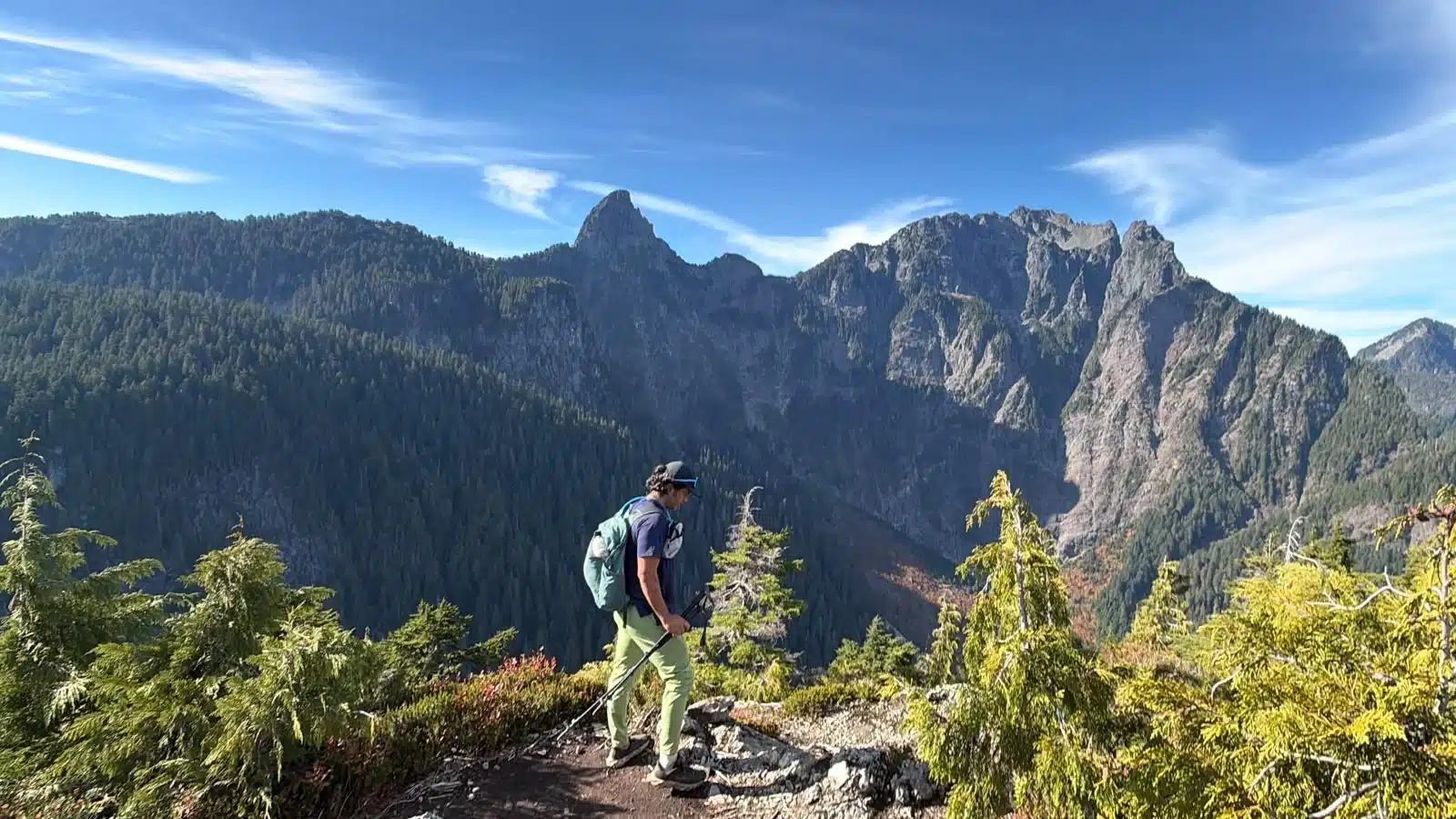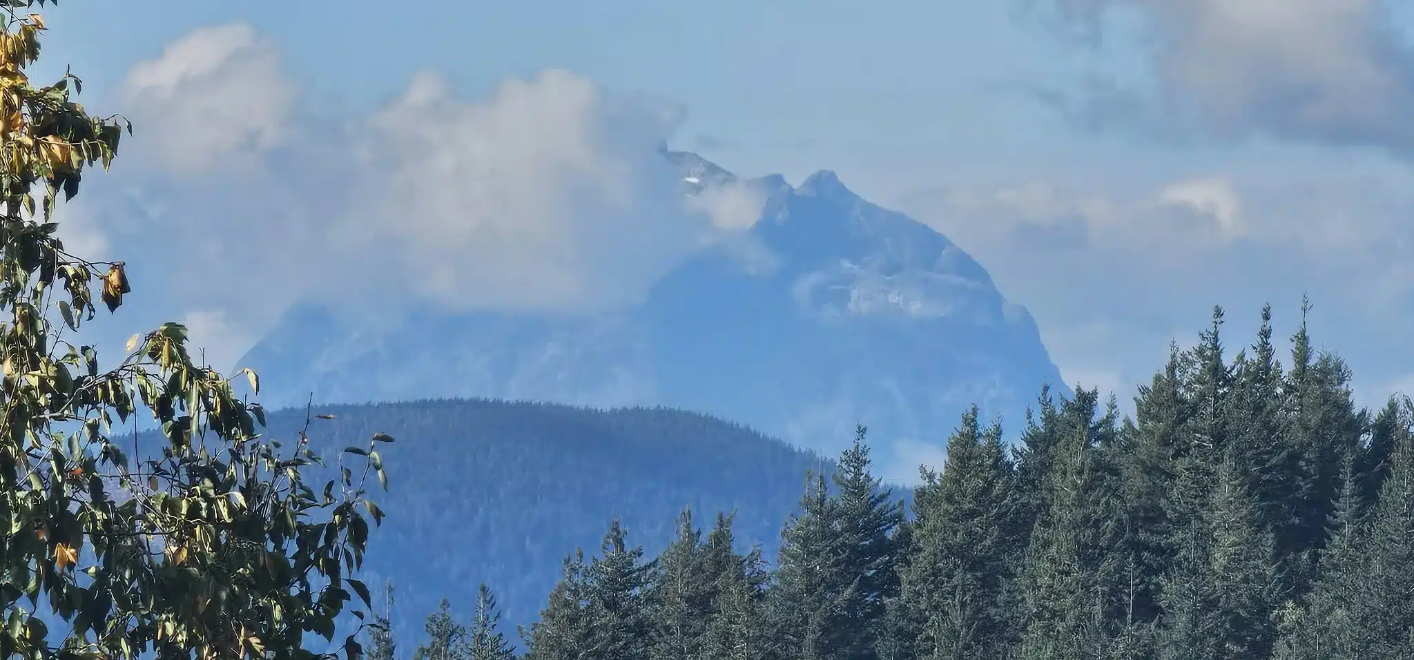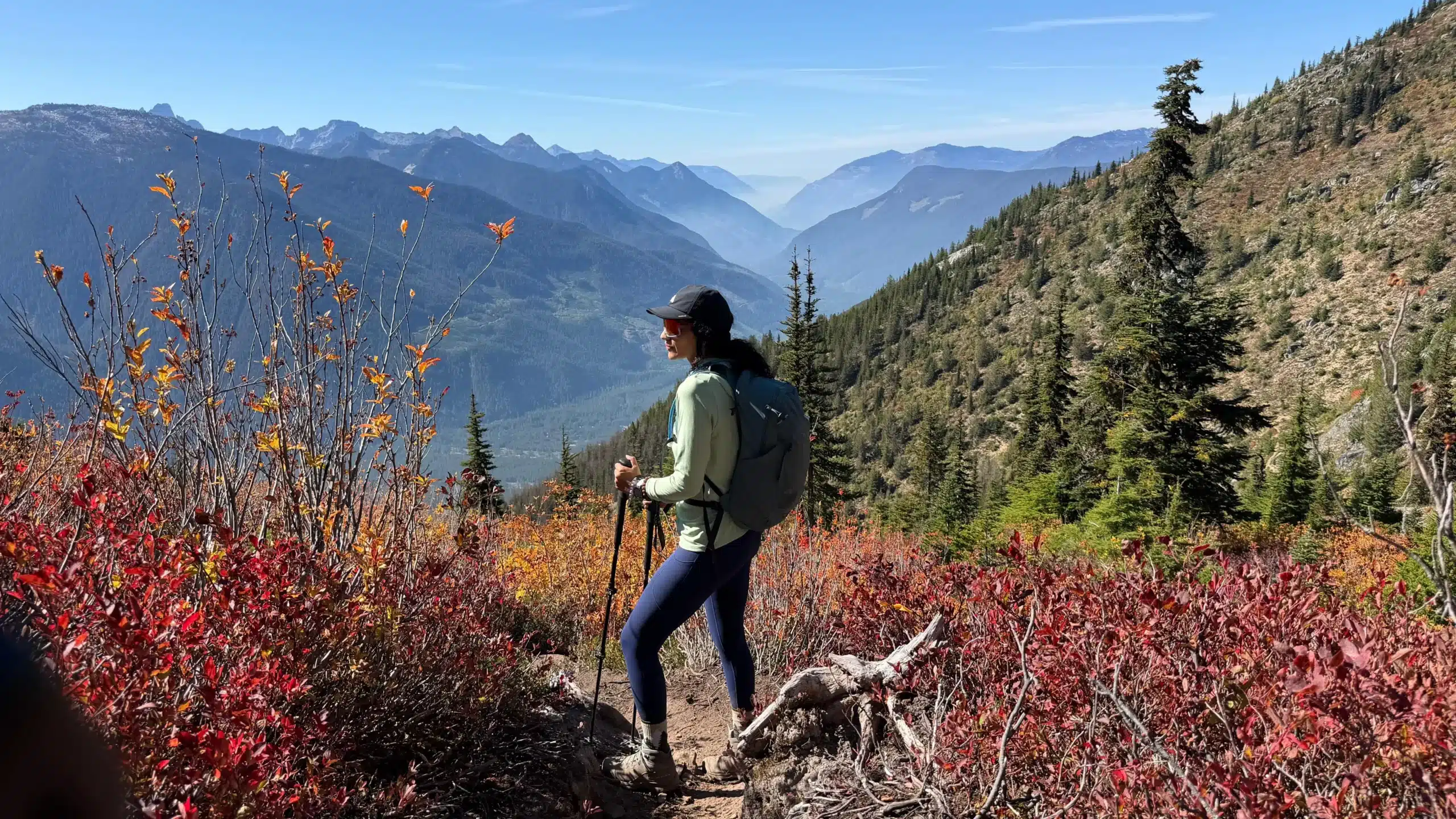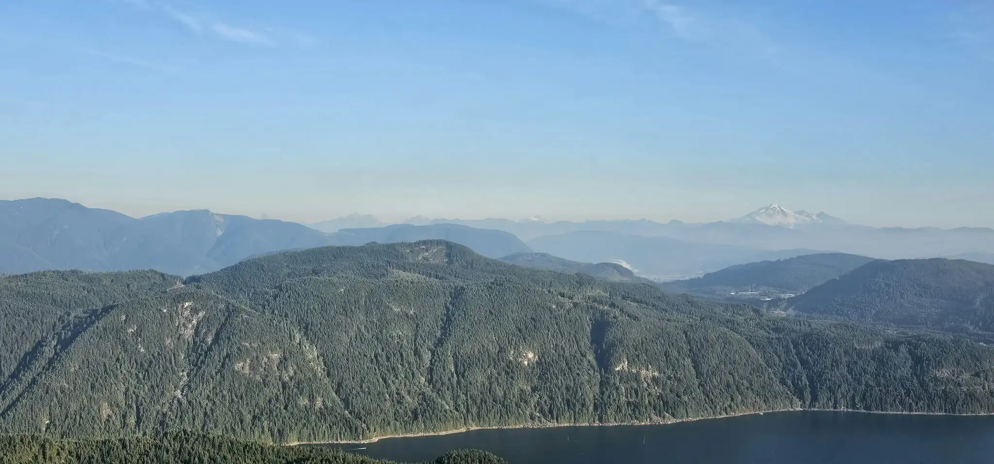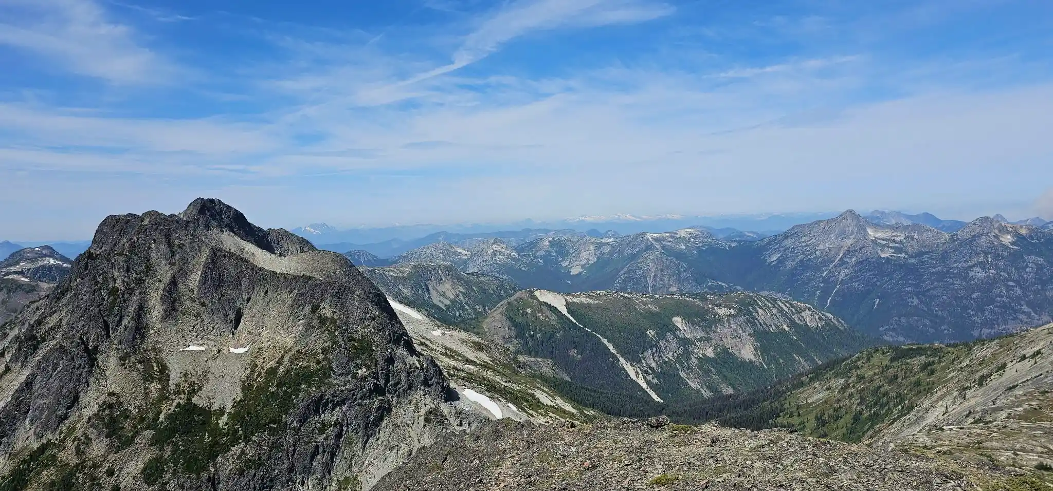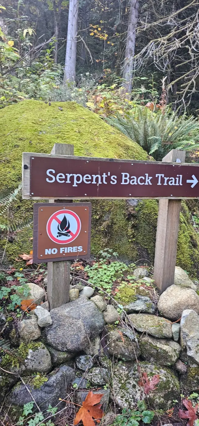
Thursday, October 15, 2026 · Hope, British Columbia · Trip report by Harpreet Sandhu Serpent’s Back Peak in Hope was our unplanned finish to a day that began with Three Brothers in mind. A closed gate on upper Blackwall Road sent us back from Manning Park, looking for somewhere to spend the afternoon. We found … Read more
Hikes and Mountain Climbing
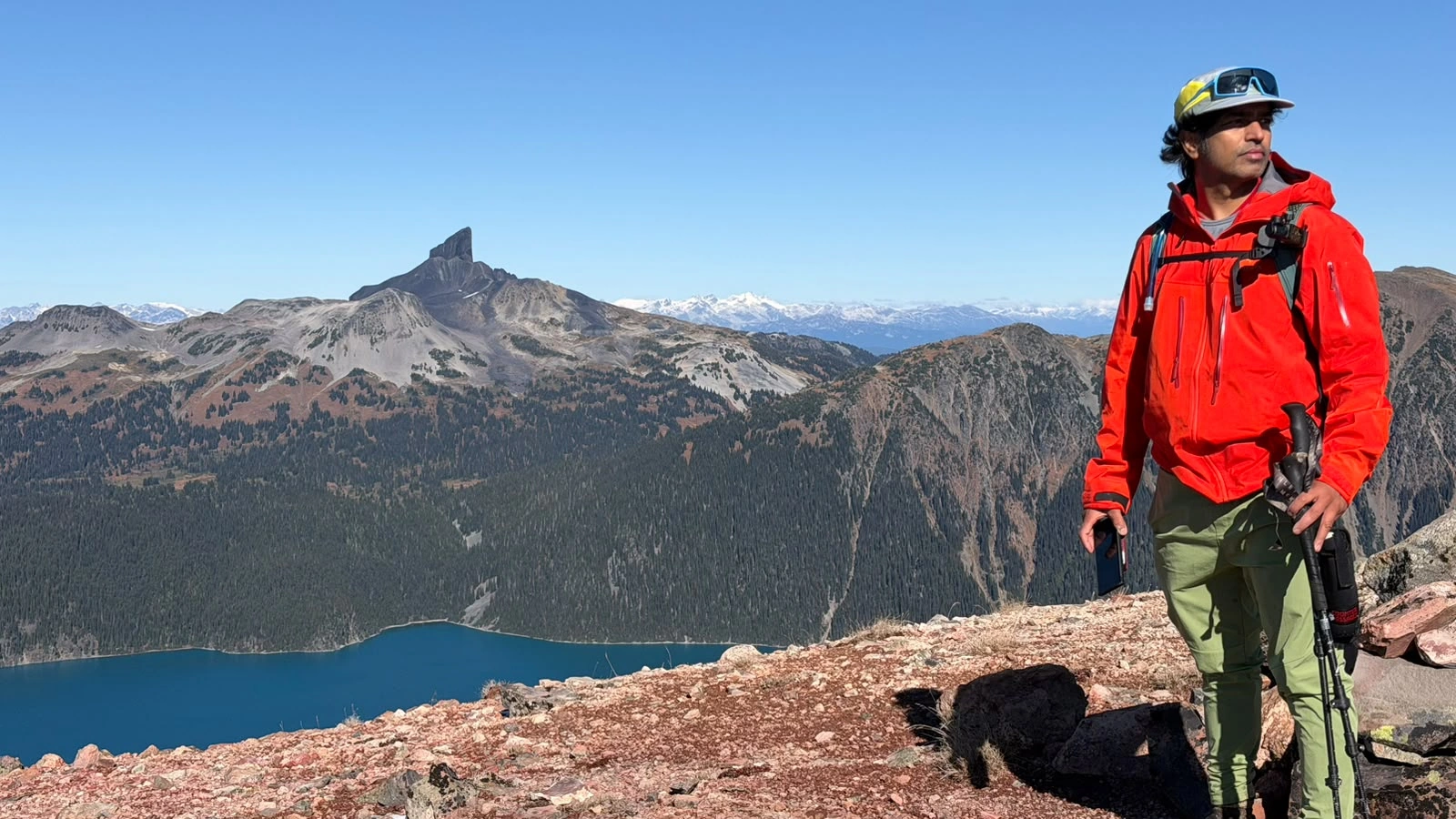
Mount Price and Clinker Peak Hike, the most beautiful view and remote
Sunday, October 11, 2026 · Rubble Creek, Garibaldi Park, British Columbia · Trip report by Harpreet Sandhu We chose Mount Price over Three Brothers as the autumn window narrowed. What began with an easy-paced climb to Garibaldi Lake became a long day of overgrown trail, boulder fields, frozen snow and red scree turning to mud. … Read more
Baker Rock via Super Sumas Grind: Sumas Mountain GPX, Ropes & Views
Our October 7, 2026 Baker Rock hike via the Super Sumas Grind in Abbotsford: a real recorded GPX, live Strava map and elevation profile, approximately 47% average grade, about 13 rope assists, summit and Baker Rock coordinates, autumn bear sign and wide Fraser Valley mountain views.
Evans Peak Hike: GPX, Ropes & Golden Ears Views
GOLDEN EARS HIKING · OCTOBER 4, 2026 Evans Peak was never the original objective. We had been considering Coquihalla Mountain—possibly during one of the final practical weeks before snow made the trailhead difficult to reach—or Mount Price. Neither plan came together, and the day changed direction at the last minute toward Golden Ears Provincial Park. … Read more
Taggart Peak via Abby Grind: GPX Map, Hiking Time & Trail Report
Normally work cuts the hike short. On September 30, 2026, the hike cut into the workday. Our 11.31 km route climbed the popular Abby Grind before continuing through wet leaves, deadfall and overgrown forest to Taggart Peak.
Flora Peak Hike, Chilliwack: Autumn Views and a Tough Descent
Flora Peak had been on our list for years. On September 20, 2026, a last-minute change of plan finally took us there. The climb brought early autumn colours, an unexpected encounter with a deer and her two young, and the mountain views we had hoped for. But just below the summit, one step onto a … Read more
79 Grind Hike in Mission, BC: Views, GPX & Trail Report
The 79 Grind hike in Mission, BC earns its name. On September 18, 2026, we followed this steep forest trail to a viewpoint overlooking the Stave Lake area, with Mount Baker on the distant horizon. Our recorded outing covered 6.08 kilometres with approximately 593 metres of cumulative ascent. We had planned a bigger mountain that … Read more
Bear Mountain Hike in Mission, BC: Route Map & Trip Report
A cloudy afternoon on Bear Mountain in Mission after our bigger mountain plans fell through. Our 10.08 km outing includes a full route map, elevation profile, return-loop photograph, and downloadable GPX.
Jim Kelly Peak & Coquihalla Mountain Attempt – August 9, 2026
On August 9, 2026, three of us headed into the Coquihalla area with a fairly ambitious plan: climb Jim Kelly Peak, Coquihalla Mountain and Illal Mountain in the same day. We started at approximately 7:00 a.m. and did not see another person on the mountain for the entire trip. By the time the day was … Read more
Brandywine Mountain
Brandywine Mountain is located in the Coast Mountains’ Pacific Ranges. There are different appproaches to Brandywine Mountain but main approach is via Brandywine Mountain Trail. If you do not want a treacherous terrain and want a shorter hike like experience, then go on a 4×4 vehicle directly to the Upper Parking lot of Brandywine Mountain … Read more