Baker Rock via Super Sumas Grind: Sumas Mountain GPX, Ropes & Views

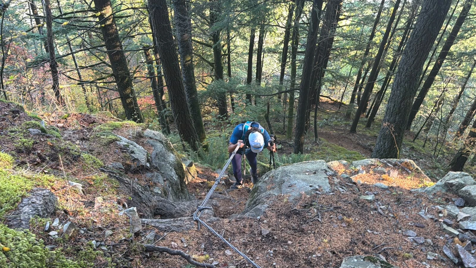
Rope section on super sumas grind aka baker grind on sumas mountain

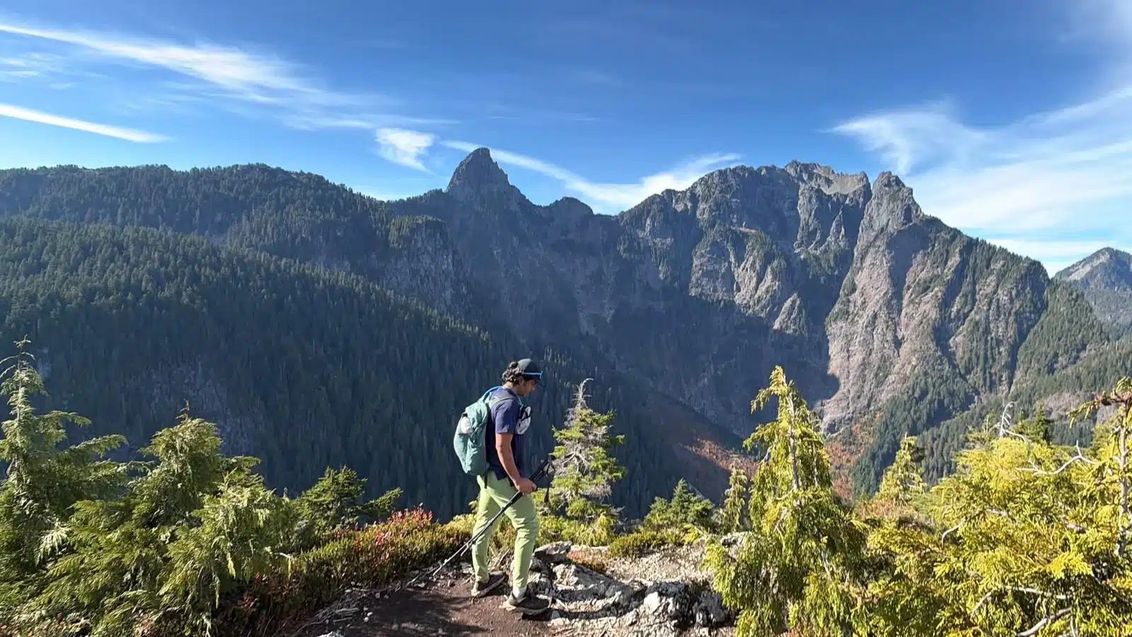
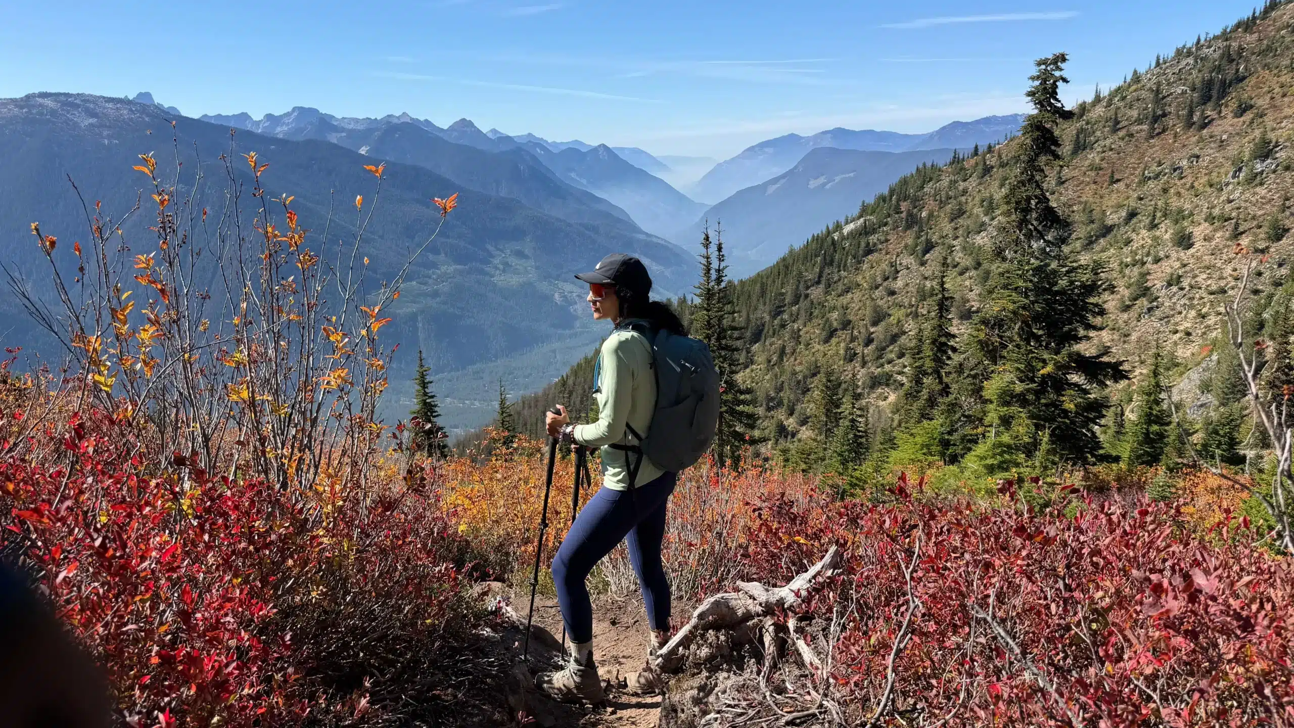
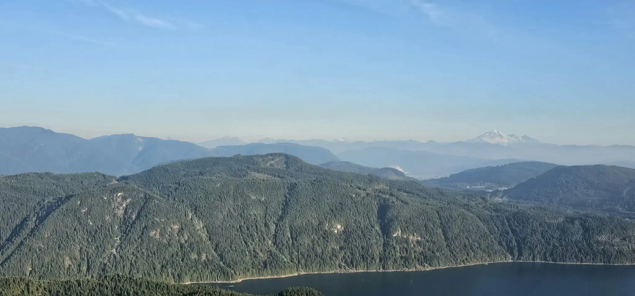
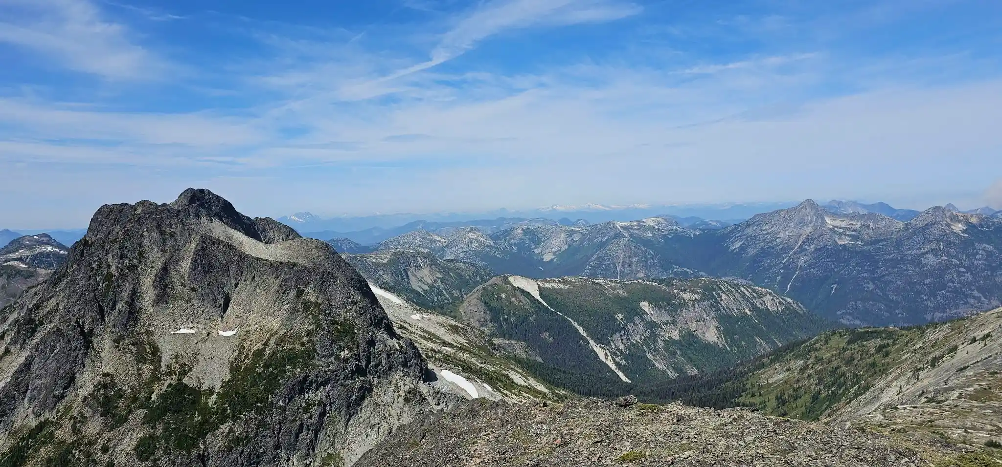
Our October 7, 2026 Baker Rock hike via the Super Sumas Grind in Abbotsford: a real recorded GPX, live Strava map and elevation profile, approximately 47% average grade, about 13 rope assists, summit and Baker Rock coordinates, autumn bear sign and wide Fraser Valley mountain views.

Evans Peak Hike: GPX, Ropes & Golden Ears Views

GOLDEN EARS HIKING · OCTOBER 4, 2026 Evans Peak was never the original objective. We had been considering Coquihalla Mountain—possibly during one of the final practical weeks before snow made the trailhead difficult to reach—or Mount Price. Neither plan came together, and the day changed direction at the last minute toward Golden Ears Provincial Park. … Read more

79 Grind Hike in Mission, BC: Views, GPX & Trail Report

The 79 Grind hike in Mission, BC earns its name. On September 18, 2026, we followed this steep forest trail to a viewpoint overlooking the Stave Lake area, with Mount Baker on the distant horizon. Our recorded outing covered 6.08 kilometres with approximately 593 metres of cumulative ascent. We had planned a bigger mountain that … Read more

Jim Kelly Peak & Coquihalla Mountain Attempt – August 9, 2026

JimKellyHikeCoquihalla

On August 9, 2026, three of us headed into the Coquihalla area with a fairly ambitious plan: climb Jim Kelly Peak, Coquihalla Mountain and Illal Mountain in the same day. We started at approximately 7:00 a.m. and did not see another person on the mountain for the entire trip. By the time the day was … Read more

Diamond Head (Neighbour of Atwell Peak) Hike Squamish

Diamond Head is one of the most beautiful hikes in British Columbia going towards Mount Garibaldi, Atwell Peak, Gargoyles and Diamond Head. Diamond Head Information Difficulty: ModerateDistance: 30+KmElevation Gain: 1500m+Highest Elevation: 2058mAverage Gradient: 15.00% Effort/Reward Ratio: High/ HighTime Needed:     – Slow: 10.5 hours with lots of breaks and pictures     – Moderate: 9 hours     – Fast: 8.5 Hours … Read more

Yak Peak: Coquihalla Highway BC

Please note when navigating, route finding and standing to look for the trail the aggregate time to go to the summit and come back down is approximately 5 hours at a very easy pace. Total Moving time is just 3 hours over the rocks. GPX File is actual route with all the “mistakes” during route … Read more