On August 9, 2026, three of us headed into the Coquihalla area with a fairly ambitious plan: climb Jim Kelly Peak, Coquihalla Mountain and Illal Mountain in the same day. We started at approximately 7:00 a.m. and did not see another person on the mountain for the entire trip. By the time the day was over, our plan for three summits had become one summit, an unsuccessful search for the southwest ridge of Coquihalla Mountain, and a useful reminder that mountains do not always allow the day to unfold according to plan.
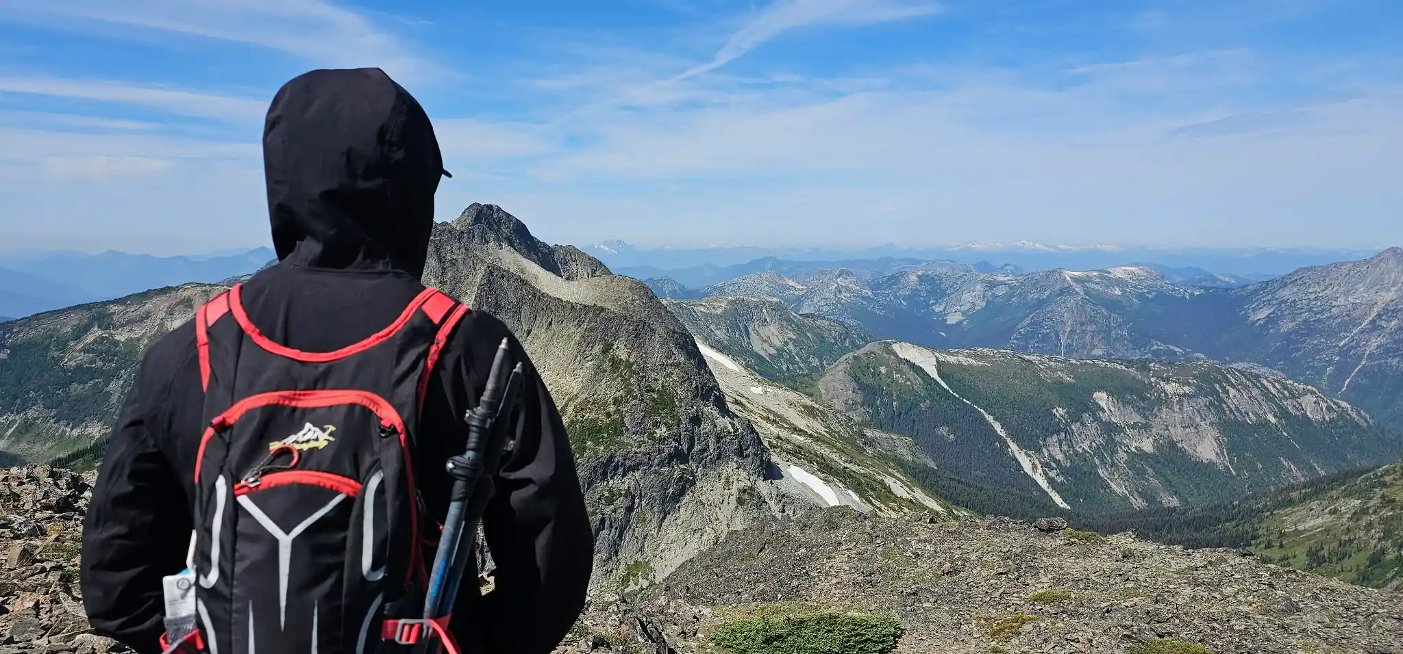
Jim Kelly Peak & Coquihalla Trip Information
Date: August 9, 2026
Start Time: Approximately 7:00 a.m.
Party: 3 people
People Seen: None
Planned Peaks: Jim Kelly, Coquihalla & Illal
Summits Completed: Jim Kelly Peak
Jim Kelly Elevation: 2,107 m / 6,912 ft
Jim Kelly Terrain: Hiking, Class 2–3; harder moves on our line
GPX Distance: Calculated from GPX
GPX Elevation Gain: Calculated from GPX
Highest GPX Elevation: Calculated from GPX
“`GPX Map – Our Actual Route
The map below shows our recorded route from August 9. This is the actual GPS track from the trip, including our route-finding while trying to reach the southwest ridge of Coquihalla Mountain.
Loading GPX route. The map can be zoomed and moved to inspect the track in detail.
Important GPX / Route-Finding Note
The GPX is a record of what we actually did, including our route-finding mistakes. It should not be treated as a recommended route to the southwest ridge of Coquihalla Mountain. The rib we followed did not connect with the southwest ridge as I expected. Anyone using this file should study the terrain independently rather than blindly following our track.
The Trip
This hike was also somewhat different for me personally. My health had not been good for approximately a year and a half, although it had finally started improving. I wanted to get back into the mountains and see where my fitness was. I also made the mistake of wearing the wrong shoes for this particular day. Neither of these things seemed like a major problem at 7:00 in the morning, but several hours later they became much more noticeable.
The original objective was straightforward in my mind: climb Jim Kelly first, continue toward Coquihalla Mountain, and then see if there was enough time and energy remaining for Illal Mountain. All three peaks sit close enough together on the map to make the idea look quite reasonable, but distance on a map and actual travel through mountain terrain are two different things.
Climbing Jim Kelly Peak
Most of our route up Jim Kelly was hiking and relatively easy scrambling. There was plenty of Class 2 terrain and some Class 3. On the exact line we took, I also encountered one or two short sections that felt closer to Class 4. Those harder moves were a result of our particular route choice and should not be interpreted to mean that Class 4 climbing is necessarily required to reach Jim Kelly Peak. A small change in line can make a significant difference when scrambling on this type of terrain.
I could tell during the ascent that my endurance was not where it used to be. I was moving, but everything was taking more energy than I expected. The shoes I had chosen were not helping either. Still, we continued and all three of us eventually reached the summit of Jim Kelly Peak.
At that stage the day was still going reasonably well. Jim Kelly was complete, and we turned our attention toward Coquihalla Mountain.
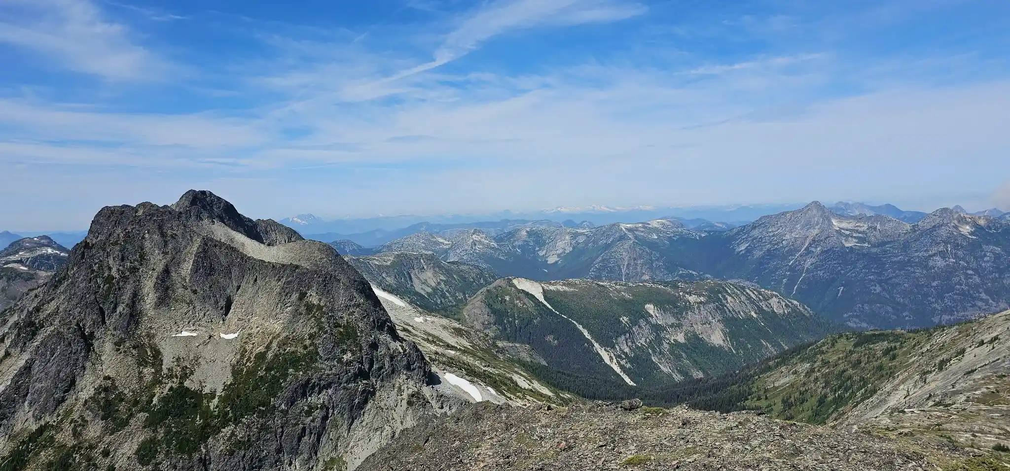
Trying to Find the Southwest Ridge of Coquihalla Mountain
After coming down from Jim Kelly, we headed toward Coquihalla Mountain. I was interested in finding the southwest ridge rather than simply following the longer southern approach. The southern approach is not difficult because of technical climbing; the bigger issue is that it is longer and can be difficult to route-find.
The northeast climb is much more direct. From what I know of that route, it is an exposed but relatively straightforward scramble around Class 3+, with the possibility of some easy Class 4 depending on the line chosen. I may take that route when we return to Coquihalla, depending on how much time we have. On August 9, however, I wanted to find the southwest ridge.
From where we were standing, I could see a rib that appeared as though it should eventually connect with the southwest ridge. We headed in that direction instead of following the normal route.
It looked logical from a distance.
It was not.
Loose Shale, Dehydration and Cramps
As I moved farther onto the rib, the terrain became increasingly loose. I eventually found myself on steep shale where losing my footing could have resulted in an uncontrolled slide down the slope. This was not a comfortable ridge where I could simply stand and look around for the next route.
At approximately the same time, dehydration caught up with me. One leg cramped badly and then the other leg cramped as well. My strength had deteriorated to the point where the terrain that normally might have been manageable was becoming a much more serious problem.
Before I could descend, I first had to get myself back above a crux that I had crossed. I did not have enough strength or confidence in my legs to simply stand normally on the loose shale, so I went onto my stomach and used my entire body to climb back up over the section. At that point the objective was not to climb elegantly. I just needed to maintain secure contact with the mountain and avoid sliding.
Waiting Before the Descent
Once I was back above the crux, I stopped. I had some water remaining and a bar with me, so I ate the bar, drank some water and waited there for approximately 30 minutes. The purpose of the break was not to gather enough energy to continue toward the summit. I needed the fatigue and cramping to settle enough that I could trust my legs to descend.
The three of us had not seen another person all day. That solitude is one of the things I like about being in the mountains, but it also changes the way you have to think when something begins to go wrong. There was no reason to assume another group would appear and help us out of a bad situation.
After around half an hour I felt somewhat better and started down. The descent from the rib was extremely slow. I could not simply stand upright and walk normally because I did not have enough strength in my legs, and the loose slope itself offered very little support. I moved carefully and gradually worked my way back down until I reached the boulder field.
Once I was back in the boulder field, the situation finally felt more manageable.
Why We Turned Around
That ended our Coquihalla Mountain attempt for the day. Continuing would not have made sense. I was dehydrated, both legs had cramped, my strength was substantially reduced, and we had already established that the rib I chose was not taking us onto the southwest ridge as I had expected.
Illal Mountain was no longer realistic either, so our original plan of Jim Kelly, Coquihalla and Illal became a single completed summit: Jim Kelly Peak.
I do not consider that a failed day. After approximately a year and a half of struggling with my health, I was back in the mountains and I had reached a summit. I also found out very clearly where my fitness was and how much work I still needed to do.
More importantly, when dehydration, cramps, fatigue, loose terrain and uncertain route-finding began stacking on top of each other, we did not try to force the original objective.
Video From the Trip
Video from our August 9 trip around Jim Kelly Peak and Coquihalla Mountain.
Coquihalla Mountain – I Will Be Back
What interests me most after the trip is still the southwest ridge of Coquihalla Mountain. The rib looked as though it should connect with it when viewed from below, but once we were actually on the terrain it became obvious that my line was wrong.
I want to return to Coquihalla specifically to route-find that southwest side properly. The other possibility is to climb the more direct northeast route. That would involve more exposure and Class 3+ scrambling, with the possibility of easy Class 4 moves depending on the exact line, but it would eliminate much of the longer route-finding involved with the southern approach.
Which route we choose will depend largely on conditions and how much time we have in hand. I will update this post after we return to Coquihalla Mountain.
Download the Jim Kelly / Coquihalla GPX File
The GPX file below contains our actual track from August 9, including our attempt to find the southwest ridge and the route we ultimately retreated from.
Please do not blindly follow this GPX.
Unlike a cleaned-up route file, I am leaving the actual route-finding in the track because it shows what happened during the trip. In particular, our line toward Coquihalla Mountain includes the rib that I initially believed would lead to the southwest ridge. It did not. Use the GPX as a record and reference, not as proof that every part of the recorded line should be repeated.
Coquihalla Mountain is still there, and I intend to go back better prepared — with the correct shoes, better hydration, improved fitness and a much clearer objective for the route.