On Sunday, September 13, 2026, we hiked Bear Mountain in Mission, British Columbia, after missing the early start for a much bigger mountain day. It was cloudy, we had not slept enough, and by around 1:30 p.m. we were looking for somewhere close enough to salvage the afternoon. Bear Mountain became the substitute: a forest outing that eventually turned into just over 10 kilometres of hiking and a little running.
Bear Mountain Hike — Trip Information
Date: September 13, 2026
Location: Mission, British Columbia
Weather: Cloudy
Recorded start: 2:45 p.m. PDT
Recorded finish: 5:11 p.m. PDT
GPX distance: 10.08 km
Elapsed recording time: 2 hr 25 min 44 sec
Approximate GPX ascent: 524 m
Highest recorded elevation: 543 m
Our assessment: Easy at our fitness level
Terrain encountered: Forest paths and biking trails
Route: Bear Mountain loop plus a short extension
These figures describe our recorded outing, including the additional climbing and short run near Red Mountain. They are not specifications for every Bear Mountain route. Distance is calculated between GPS points; ascent is the sum of positive elevation changes and can vary with GPS noise and smoothing. The highest recorded elevation is not a surveyed summit height. Elapsed time includes any pauses within the recording.
GPX Map — Our Actual Bear Mountain Route
The map shows the complete track from September 13, including our loop and the extra distance at the end. Zoom in to inspect the turns, or switch between the street and topographic maps.
The complete route is shown above. The interactive basemap requires an internet connection.
Elevation Profile
Recorded elevation against cumulative distance. The later rises show why reaching the summit did not mean the climbing was finished.
About this GPX: This is the route we actually took, including the extra climbing on our return. It is not the shortest route or a recommendation to repeat every turn. Our roughly 9.25 km Bear Mountain loop was followed by an additional short run that brought the recorded total to 10.08 km.
How Bear Mountain Became the Plan
Mount Price in Garibaldi had been one of our choices. We had also considered heading toward Whistler or doing Diamond Head and Opal Cone. Any of those options meant getting ourselves moving early. Our intended 3 a.m. start disappeared after too little sleep the night before.
By around 1:30 p.m., we decided on Bear Mountain in Mission. There was still time to get outside, even if the day was no longer going to involve the mountain we had wanted. The GPX recording started at 2:45 p.m.
I would not pretend that I arrived with much enthusiasm for this particular objective. We had been thinking about a bigger mountain day. A short local hike through the trees was a fairly substantial change of plan.
Nature of the Hike: Forest and Biking Trails
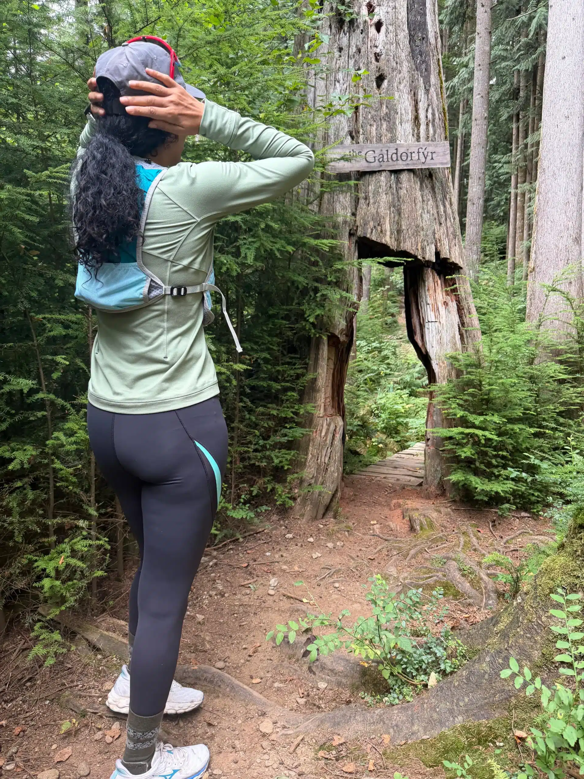
For most of our outing, the experience was trees, forest trails, and junctions within the biking trail network. On this cloudy afternoon, there was little scenery that stood out to me. The summit did not give us the kind of payoff we look for on a longer mountain trip.
For an avid hiker or mountaineer, that distinction matters. I enjoy having an objective: somewhere to climb toward, a change in terrain, or a view that opens up after the effort. Bear Mountain did not offer much of that on our route. It felt more like a place to exercise than a mountain I would build a weekend around.
The physical effort was easy for us. There were climbs, but nothing that felt particularly demanding at our pace. The cumulative ascent in the file is about 524 metres, which includes all the smaller rises and the extra climbing we added. That is different from a single uninterrupted climb of the same height.
The Summit, the Loop, and Another Climb
The small trails were a little confusing. There were enough turns and junctions that our return did not unfold quite as simply as going up, reaching the summit, and coming straight back down.
After the summit, we descended and then had to climb again to complete our loop back toward the parking lot. That meant regaining roughly 100 metres before we could descend once more. It was not a difficult climb, but it was an extra uphill at the point when we thought we were making our way out.
This is the useful part of sharing the actual GPX. It shows how our outing developed, including the turns that added work. Someone choosing a different combination of trails could have a different distance and elevation total.
Adding the Red Mountain Incline to Reach 10K
The Bear Mountain portion came to about 9.25 kilometres. We then ran up the first incline on the Red Mountain side near the gun club and came back down, simply to bring the outing to around 10 kilometres. We did not make a separate Red Mountain summit trip.
The complete GPS track measures 10.08 kilometres. From the first recorded point to the last, the outing lasted 2 hours, 25 minutes, and 44 seconds. That is our elapsed recording time, not a suggested completion time for other hikers.
Is Bear Mountain in Mission Worth Hiking?
For me, Bear Mountain makes sense as a local training outing, a forest walk, or somewhere to keep moving when a larger plan falls through. It gave us a couple of hours outdoors without needing to turn the afternoon into a major undertaking.
Would I choose it over Mount Price, Opal Cone, or a bigger mountain objective when the time and conditions allowed? No. The scenery and sense of adventure were not comparable to what we had hoped for that morning. If you arrive expecting an alpine experience, this outing is unlikely to satisfy that appetite.
But that was not the day we had available anymore. We had missed the early start, we were short on sleep, and we wanted some exercise. Bear Mountain served that purpose.
No grand objective this time. Just a cloudy afternoon, a few extra turns, and ten kilometres that we would otherwise not have done.
Download Our Bear Mountain GPX
The file contains the full recorded outing from September 13, 2026. Use the map and elevation profile above to understand the loop and additional distance before downloading it.
For a longer mountain trip report, read our Jim Kelly Peak and Coquihalla Mountain attempt, or explore the Brandywine Mountain hike.